
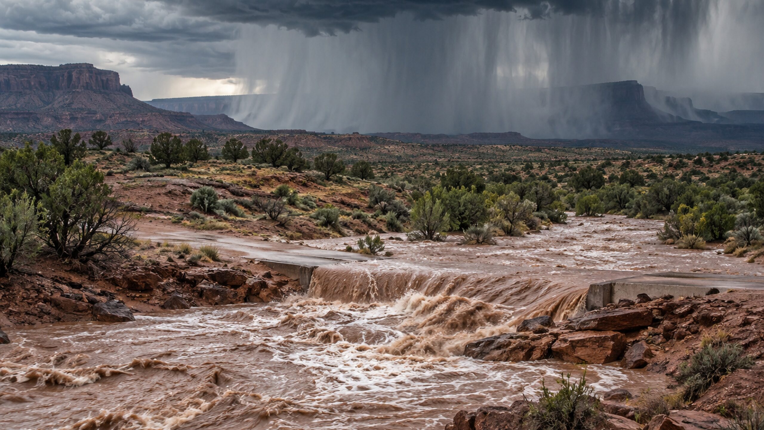
A deadly flash-flood episode on the Navajo Nation has been followed by another round of flood concern across New Mexico. Navajo authorities say two adults and one juvenile died after being swept away in a flooded area in the Two Grey Hills/Newcomb region early Wednesday. Police received the initial report at about 12:30 a.m. local time. The circumstances remain under investigation.
A new round of storms is expected Thursday
The National Weather Service in Albuquerque has issued another Flood Watch for Thursday across a broad part of New Mexico. In the northwest, including the Farmington and Shiprock areas, the watch begins at 11 a.m. Mountain Daylight Time and continues through late tonight. Additional watches cover parts of central and north-central New Mexico.
A Flood Watch means flash flooding is possible; it does not mean flooding is occurring everywhere in the watch area. That distinction is important after Wednesday’s confirmed fatalities. The deaths are an observed event, while Thursday’s renewed flood threat is a forecast based on expected storms and vulnerable ground conditions.
Rainfall rates could reach 1 to 2 inches per hour
The NWS expects additional showers and thunderstorms through the afternoon and evening. Stronger storms may produce rainfall rates of 1 to 2 inches per hour, or about 25 to 50 millimetres per hour. Those rates are expected to be local rather than widespread, but they can be enough to create rapid runoff in the region’s steep and normally dry drainage channels.
Recent rainfall has already left parts of New Mexico with saturated ground. The weather service specifically highlights wildfire burn scars, urban areas, communities with limited drainage infrastructure, complex terrain and saturated soils as areas where runoff can accelerate quickly.
Why desert flash floods can become dangerous so quickly
Flash flooding in the American Southwest is often driven by a combination of high short-duration rainfall and terrain that funnels water into narrow washes and arroyos. A channel that is dry before a storm can carry fast-moving muddy water only minutes later. Floodwater may also contain rocks, branches and debris, while roads can be undermined beneath opaque water.
This is why the most serious danger is not always located directly beneath the heaviest rain at a given moment. Water can move downstream from a storm cell and reach crossings or low-lying areas after the most intense rainfall has already shifted away.
Navajo Nation emergency declaration remains in place
The Navajo Nation Commission on Emergency Management has reaffirmed a Nation-wide state of emergency because of severe monsoon storms, flash flooding and damage to roads and infrastructure. Officials identified part of U.S. Highway 191 as a major impacted area and said evacuations were carried out overnight. Emergency crews and transport teams remain active in affected communities.
Authorities continue to urge residents not to walk, swim or drive through floodwater and to stay away from washes, arroyos and flooded crossings. The water can conceal washed-out road surfaces and other hazards.
The next critical window
Thursday afternoon and evening are the main period to watch for renewed intense convection. Lighter to moderate rain may continue overnight. The exact placement of the strongest thunderstorms will determine where flash flooding becomes an immediate threat, so warning updates may change quickly at local level.
The wider pattern is part of an unusually active wet monsoon setup affecting New Mexico and the Four Corners region. For now, the key message is that the region has already experienced fatal flooding and still faces another period capable of producing rapid, dangerous runoff.