
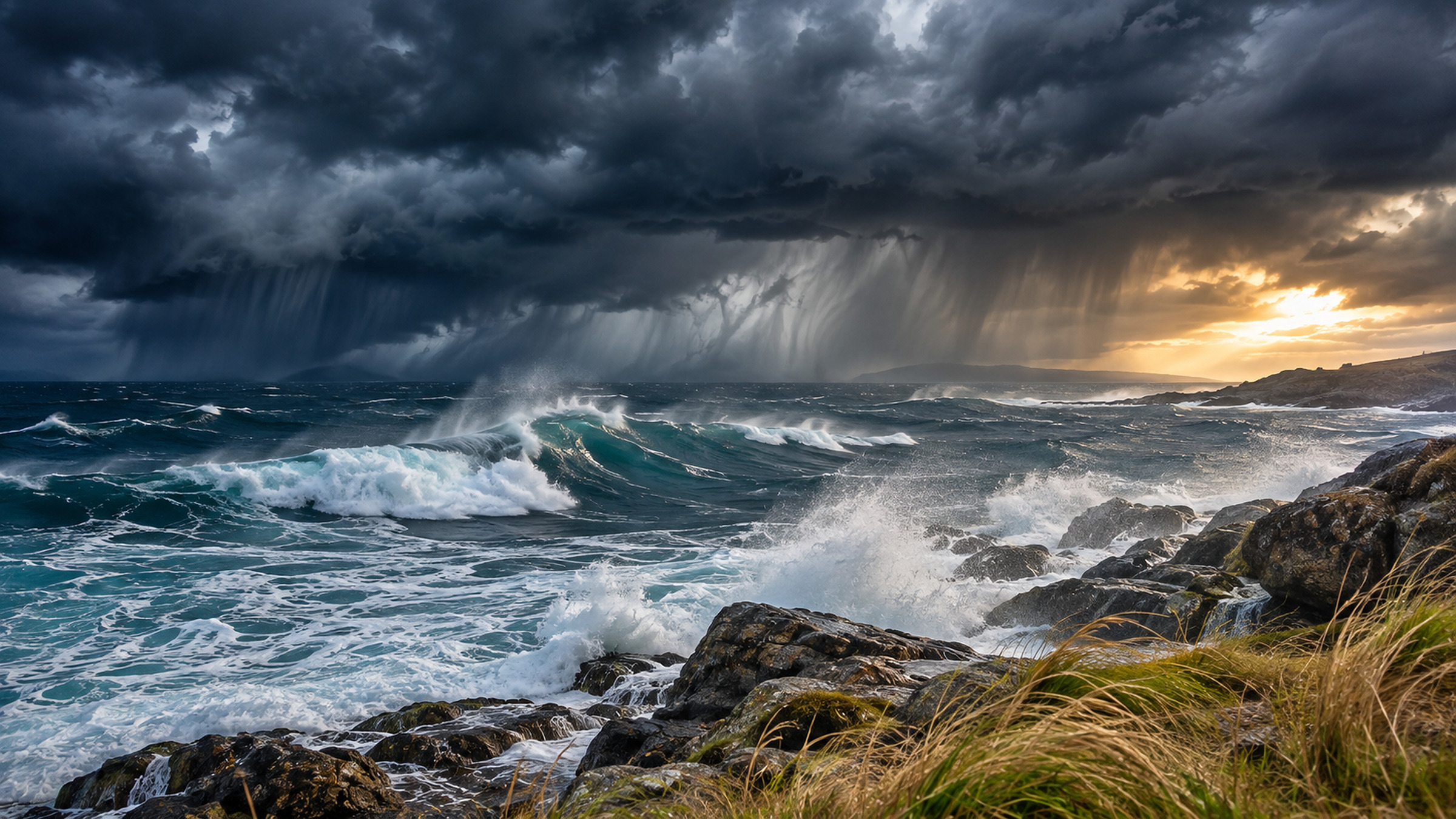
An unusually sharp contrast is developing across Europe. While Portugal is dealing with one of the week's most serious Atlantic weather episodes, bands of heavy rain are spreading towards the western Mediterranean. Farther north, much of the United Kingdom is heading into a colder, brighter Thursday. The same date brings very different weather depending on which side of the continent you are on.
Good to know
Why the strongest winds do not always pass over the storm centre
The position of a low-pressure centre alone does not tell you where the strongest gusts will occur. Pressure differences and exposed terrain also matter.
- Pressure gradientWind generally becomes stronger where atmospheric pressure changes rapidly over a short distance. Tightly packed pressure patterns are therefore an important signal of stronger winds.
- Air circulates around the lowIn the Northern Hemisphere, winds circulate anticlockwise around low pressure. The strongest airflow may be displaced to one side of the centre rather than sitting directly above it.
- Exposure changes the gustsA headland, a mountain ridge and a sheltered inland town can experience very different gusts during the same storm because local terrain changes the wind flow.
In Portugal, the severe weather is not simply a forecast for later in the week. Official red alerts have been issued for parts of the mainland on Wednesday, particularly for heavy rain and, in exposed districts, powerful gusts. Thursday's main concern shifts east, with the risk of intense rainfall in southern France and renewed downpours over parts of Italy. The location and intensity of the heaviest rain will still depend on the movement of the low-pressure system.
Portugal on Wednesday: red warnings for rain and wind
Storm Charles is the immediate concern on the Atlantic edge of Europe. The depression has moved towards mainland Portugal after affecting the area around Madeira, drawing in exceptionally moist air and bringing a combination of heavy rain, strong winds and rough seas. The exact track matters: a relatively small change can put a different stretch of coast beneath the strongest gusts or most persistent rain.
Red-level rainfall warnings are in effect for several Portuguese districts on Wednesday. Around Lisbon, the red rain-warning period runs through much of the day, while additional wind and coastal-sea alerts cover defined hours. Faro, in the Algarve, is among the areas with red-level warnings for both rain and wind. These are location-specific alerts, not a single red warning covering all of Portugal throughout Thursday.
In the most exposed parts of the country, gusts around 120 km/h are possible, locally higher where terrain and the storm's circulation reinforce the wind. The forecast also points to very rough seas on parts of the west and south coast. The strongest figures are potential local extremes rather than the wind speed expected on every street or beach.
The picture should change gradually after the most active phase. Rain and squally showers may continue in places, but a weakening of the wind and a reduction in the widespread rainfall risk are expected as Charles moves away. It would be premature to describe Thursday as uniformly dry across Portugal: residual showers and local exposure will still matter.
Spain: Atlantic rain reaches inland, then begins to ease
Spain is also feeling the effects of Charles and the separate Atlantic depression Bruna. During Wednesday, rain is forecast to spread across large parts of the peninsula, with some of the heaviest and most persistent falls favouring the west and south and mountain-facing slopes. Strong winds and rough coastal conditions accompany the rain in exposed areas.
Western Spain, Extremadura and areas facing the Gulf of Cádiz are more directly in the path of the strongest Atlantic weather than the far north-east of the country. The Canary Islands have also experienced a spell of disturbed weather. That geographical distinction is crucial: the weather in Madrid or Seville cannot be reduced to the same outlook as Barcelona or the Mediterranean coast.
By Thursday, the main Atlantic system should be pulling farther away and the most widespread rain and wind should ease. Some heavy showers can remain around northern mountains and Atlantic-facing districts. A new period of calm is possible in some places, but it will not arrive everywhere at once.
Southern France: Thursday becomes the wetter day
The next major change comes to France. After another wet spell over parts of the north on Wednesday, a new area of active rain is expected to cross much of the southern half of the country on Thursday as the depression approaches from the Iberian Peninsula. The strongest rainfall risk is concentrated farther east, with Provence and Corsica especially exposed to heavy, sometimes thundery downpours.
Along the Mediterranean, coastal air can hold substantial moisture. Where winds push that air against hills and mountains, rainfall can intensify over a surprisingly short distance. A town at the foot of a slope may see persistent rain while another area only a few kilometres away experiences shorter showers. The location of the most intense rainfall bands remains sensitive to the storm's path.
This does not mean the whole French Mediterranean coast will experience continuous heavy rain throughout Thursday. There can be breaks between showers. But the risk of several intense spells is higher than on a routine wet November day, particularly across the south-east and Corsica. Temperatures are expected to begin falling as cooler air follows the weather system.
Italy: heavy northern rain, unusually mild farther south
In Italy, attention turns to Liguria, northern Tuscany and parts of the north-east. Showers and persistent rain affect several of these areas on Wednesday, with further intensification possible on Thursday. The coastal hills and the northern Apennines are particularly sensitive when humid air flows in from the sea.
The contrast with southern Italy is striking. While parts of the north may struggle to reach the mid-teens under thick cloud and rain, southern districts and the larger islands remain much warmer. In favourable locations in Sicily, temperatures could reach around 25 °C. This is not a nationwide Italian temperature: it describes the warmest southern areas, far removed from the rain-soaked north.
Coastal winds may also strengthen around the Tyrrhenian Sea. The most unsettled conditions are expected over parts of the north and centre, while the precise timing of heavier showers will vary between Liguria, Tuscany, Lazio and the north-eastern regions. The country is not facing one uniform weather day.
Britain turns colder on Thursday
Across the United Kingdom, the trend is almost the opposite. Wednesday starts damp in southern England and Wales, with rain gradually becoming less widespread. Northern Scotland and the Northern Isles see frequent blustery showers, some turning wintry as colder air arrives from the north.
By Thursday, much of England, Wales, Northern Ireland and central or southern Scotland should have longer dry and bright intervals. Northerly winds, however, will make it feel noticeably colder. Frost is possible after clear spells, while the far north and north-east retain wintry showers. Snow is mainly a concern in northern higher ground, rather than a general snowfall across lowland Britain.
That makes Thursday's contrast particularly clear: brighter skies do not necessarily mean a milder day. In exposed coastal areas, the wind chill can be marked even where sunshine breaks through.
Alps and central Europe: rain in valleys, snow mainly higher up
The Alpine region lies between the unsettled Mediterranean weather and cooler air to the north and west. Rain and cloud increase in parts of the French, Italian, Swiss and Austrian Alps, with marked differences between windward slopes and sheltered valleys. Wind exposure also changes sharply from one pass or ridge to the next.
The air mass is not cold enough for widespread snow at low elevation. Snow remains most likely in high mountain areas, while many valleys see rain. Local forecasts for Swiss high passes also show temperatures close to freezing despite much milder conditions at lower elevations. Where the rain-snow boundary settles depends on the air temperature through the full depth of the atmosphere, not simply the height of one mountain.
Across Germany and neighbouring parts of central Europe, the influence of Atlantic weather is much less direct than in Portugal. Low cloud, patches of rain and regional wind differences remain important, but the red warnings issued in Portugal should not be presented as if they applied across central Europe.
What matters by Thursday evening
By late Thursday, the broad European pattern should be clearer. Portugal and much of Spain will be moving away from the peak of the Charles-related storm episode, although some unsettled conditions may linger. Southern France and parts of northern and central Italy will still be dealing with the risk of heavy rain. Britain, by contrast, is likely to be colder but brighter away from the exposed far north.
Practical tips
Red weather warnings: three details that change the meaning
A national red warning is more specific than the name of a storm. Its hazard, geographical coverage and valid period determine what the warning actually describes.
- One colour, several hazardsRain, wind and high seas can have different warning levels in the same district. A red rain warning is not automatically a red wind warning.
- The alert has boundariesWarnings apply to defined districts or coastal areas. A neighbouring district may have a lower level, even while it experiences unsettled weather.
- Valid times are essentialA warning issued for Wednesday afternoon should not be described as an active Thursday warning without a separate confirmation for that period.
The key distinction is between an official warning that already applies to a particular area and a forecast risk that may develop farther east. Rainfall intensity, wind strength and the timing of each weather band can change as the low moves. The strongest weather over Europe in these two days is concentrated in specific regions, not across the continent as a whole.