
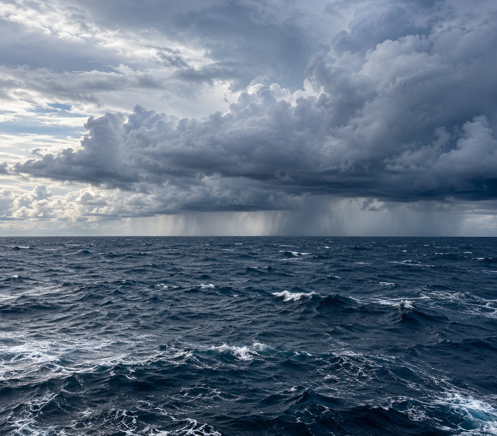
Hurricane Polo is weaker than at its extraordinary peak, but Mexico’s Pacific coast is not out of danger. Aircraft observations, changing storm structure and an offshore forecast track tell different parts of a story that cannot be reduced to one wind number.
Advisory reference: September 23, 2026, 09:00 UTC / 3 a.m. central Mexico time. The National Hurricane Center places Polo about 300 kilometres south of Zihuatanejo, with sustained winds of 250 km/h, or 155 mph: Category 4.
A remarkable peak, with a precise timestamp
At 19:00 UTC on September 22, the NHC issued an aircraft-based update reporting maximum sustained winds near 285 km/h and a minimum central pressure of 892 hPa. Those figures describe Polo at that time, over the ocean. They are not the current intensity or a measurement from a coastal city.
The distinction between an observation and the estimate built from it is also worth preserving. In Discussion 9, forecasters described the reconnaissance wind and pressure data and explained their assessed surface intensity. A hurricane advisory is a synthesis of observations, not a claim that every point in the circulation has the same wind speed.
The core is changing
Later reconnaissance and microwave imagery suggested that a secondary eyewall was taking shape. The subsequent NHC discussion described evidence of an eyewall replacement cycle, while the latest analysis still identified signs of a double structure and less intense convection around the eye.
According to NOAA research guidance, a second eyewall can accompany a temporary drop in peak winds and a wider area of strong winds. That is a possible structural evolution, not a universal rule or proof that Polo’s coastal wind footprint has already expanded by a particular amount.
Offshore does not mean impact-free
The forecast keeps the intense core offshore as Polo turns northwestward or west-northwestward. Yet the NHC’s current key messages identify dangerous flooding and mudslides as possible consequences of the rain bands reaching southwestern Mexico, particularly in steep terrain.
A tropical storm warning covers the coast from Tecpan de Galeana to Punta San Telmo. A watch extends farther west to Playa Perula. Those products describe expected or possible tropical storm conditions in specific coastal sections. They should not be recast as a forecast of Category 4 winds across the entire warning area.
For people near the shore, surf is another reason not to judge safety by the distance to the eye. The NHC’s hazard guidance separates rainfall flooding, wind and coastal water hazards because each can affect a different area and follow a different timetable.
What to watch next
The next useful information will be whether Polo makes the expected turn, how its inner structure evolves and where the outer rain bands persist. A track forecast is not a guaranteed path. Likewise, a forecast rainfall total is not an observed accumulation, and preparedness measures do not by themselves confirm damage.
For residents and visitors in the affected coastal region, local civil-protection instructions should guide travel and shelter decisions. Flooded roads and exposed beaches are not safe places to assess the storm firsthand.
Polo illustrates a wider forecasting challenge: the most dramatic number often comes from the storm’s compact core, while the decisions on land depend on a broader set of hazards. Its peak intensity explains the power of the hurricane. The evolving coastal warnings explain what people need to do about it.
Image disclosure: AI-generated illustration, not a photograph of the current event.