
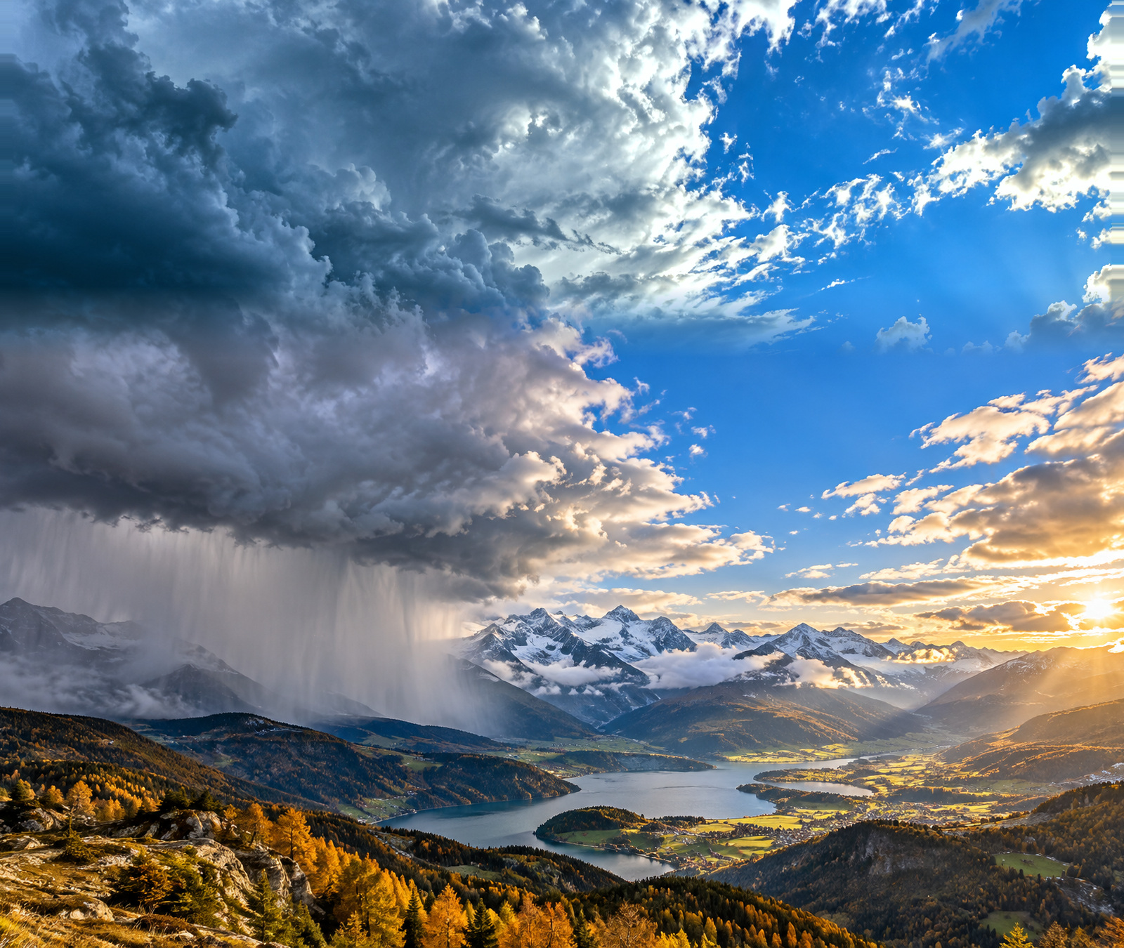
Friday night brings a clear west-to-east weather divide across western and central Europe. Rain spreads across much of northern France and into parts of Germany, while cloud also increases along the northern side of the Alps. Farther south, conditions are much more mixed: the southern side of the Alps has longer dry spells, but southern Italy remains under the influence of an unstable Mediterranean low.
France and Germany: rain, showers and stronger winds
France sees rain overnight across much of the northern half. On Saturday the rain band stretches from northern Nouvelle-Aquitaine and northern Occitanie toward eastern France and the German border. Morning temperatures are mostly 9 to 12°C in northern and central-eastern France and 11 to 16°C farther south. Afternoon highs reach 16 to 22°C, rising to 20 to 25°C near the Mediterranean.
Germany stays mostly cloudy with rain in many northern, western and southern areas. Lowland temperatures early Saturday are largely 9 to 12°C, with afternoon highs of about 13 to 18°C. The east has the best chance of brighter intervals. Wind gusts affect exposed coasts and uplands, while high mountain sites can see storm-force conditions.
The Alps: snow remains a high-elevation issue
Switzerland and Austria both see wetter conditions spreading into the northern Alps. Switzerland reaches around 16°C north and west of the Alps and about 19°C in the south, while Austria ranges widely from roughly 10 to 20°C depending on rain and sunshine. In the northern and western Alps, snow levels are generally around 2200 to 2500 metres on Saturday, so most populated valleys see rain rather than snow.
Southern Italy: the main severe-weather focus
Italy is sharply split. Northern regions are relatively calm, with many areas reaching around 18 to 22°C after a cool morning. Farther south, thunderstorms can be intense. Italy’s Civil Protection Department has issued orange alerts for Saturday in Sicily and parts of Calabria, Puglia and Campania, with heavy downpours, strong gusts, local hail and frequent lightning possible.
By Saturday evening
The main frontal rain gradually shifts east and south across central Europe, leaving more broken conditions behind it in northwestern France and parts of Germany. The northern Alps remain changeable, while the Mediterranean picture stays highly uneven: brighter around parts of France and northern Italy, but stormy in parts of southern Italy.