
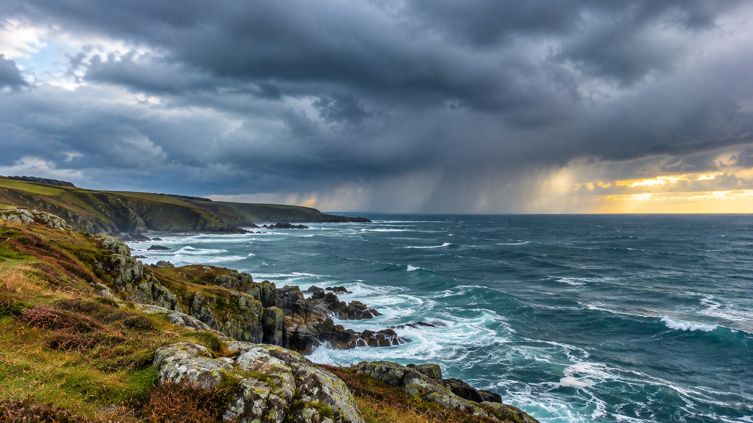
Europe is moving through an uneven spell of November weather. By Monday afternoon, the Atlantic side faces another round of rain, but many inland areas are still dealing with something much quieter: low cloud, lingering fog and slow changes in temperature. The contrast becomes sharper overnight and into Tuesday, 10 November, as wet weather spreads into parts of Britain, Ireland and the northern Alps.
Good to know
Why rain can last longer on mountain-facing slopes
A rain band does not deliver the same amount of water to every nearby town. When moist air meets high ground, the shape of the land can make some slopes much wetter than neighbouring valleys.
- Moist air is pushed upwardsWind moving towards a hill or mountain cannot pass through it. As the air is forced to rise, it cools and may form thicker cloud.
- Clouds can produce more rainIf sufficient moisture is present, the rising air helps droplets grow and increases rainfall on the exposed side of the terrain.
- Nearby districts can differ sharplyA sheltered valley may receive less precipitation while an exposed hillside has hours of rain. This helps explain contrasts around the Alps and other European ranges.
Portugal has the most persistent Atlantic rain threat in this overview. Elsewhere the weather is less dramatic, but timing matters. Southern England can start Monday with clear spells before turning wetter on Tuesday; the northern Alps can be rainy while parts of Italy remain comparatively dry; and southern Sweden may stay cloudy while mountain areas farther north contend with wind and snow.
Portugal: further heavy rain possible through Tuesday
Portugal’s Atlantic outlook is the most unsettled part of this two-day forecast. The Portuguese weather service, IPMA, says the wider low-pressure area associated with Depression Bruna will send successive rain-bearing fronts towards the mainland. One of the periods singled out for potentially more severe weather runs from late Monday afternoon into Tuesday afternoon. This is a forecast for the period ahead, not a claim that all the rain has already fallen.
Rain may become heavy at times and could be accompanied by thunderstorms. The same official outlook allows for gusts reaching around 75 km/h in exposed coastal districts and around 80 km/h on higher ground during some periods. Along the western coast, waves are forecast to build to roughly four or five metres between Monday and Wednesday. These figures refer to specific exposed areas and periods; they are not the expected conditions in every Portuguese town.
Western and northern districts are especially sensitive to successive rain bands, although a town may have a dry interval between them. That makes the latest local forecast more useful than a single national rain symbol. The Atlantic islands also sit within this broader unsettled pattern, but their warning areas and timing must be checked separately from mainland Portugal.
Britain: a quiet Monday gives way to wetter Tuesday weather
For much of the United Kingdom, Monday starts very differently. Fog has been slow to lift from some central English and Welsh districts, and brighter skies are expected in many places once it clears. Away from a few eastern coastal showers, the day is generally dry. It can still feel chilly, particularly where low cloud remains through lunchtime.
The change comes from the south overnight. Cloud thickens, the breeze picks up and rain moves into southern Britain. On Tuesday, rain spreads north through parts of England and Wales, with the southwest at risk of heavier bursts later in the day. The Met Office expects many places farther north to stay dry for longer, with brighter spells once any morning fog clears. This is not a forecast for uninterrupted rain across the entire UK.
London and the southeast may see rain arriving during Tuesday after a cool Monday near 11°C. Farther west, parts of southwest England are forecast to reach around 14°C as the weather becomes wetter and breezier. On the coasts and hills, a brisk wind can make a damp day feel less mild than the thermometer suggests.
Ireland: rain crosses the south while Ulster holds on to dry weather
Ireland also has a clear north-south split. After a mostly bright Monday outside the cloudier southwest, rain and drizzle spread across southern counties overnight. Conditions may turn wet or persistently damp along the southern coast, where the wind will be more noticeable.
On Tuesday, southern Ireland remains the wetter half of the country. Rain is expected to become patchier or showery towards the evening, but southern coastal districts can still have longer wet spells. Ulster, by contrast, is forecast to stay mostly dry through the day. The national forecast gives Monday daytime highs of around 8 to 13°C, before a cooler, often damp Tuesday for many places.
France: cool in the north, much milder in the southwest
France illustrates why a map of cloud and rain needs a temperature map beside it. The north remains relatively cool on Monday, with many places struggling into the upper single digits or low teens. Across the southwest, conditions are considerably milder. Météo-France forecasts local highs around 21 to 22°C near the Garonne and parts of the southwest, even though the sky is not completely clear.
Much of France is cloudy at times, with intermittent rain affecting different regions. The Mediterranean foothills and Cévennes can hold onto precipitation longer than neighbouring lowlands, while some Atlantic and inland districts experience lengthy pauses. Further rain moves across parts of the country overnight and on Tuesday, but a wet spell in one department should not be presented as continuous rain over the whole country.
Germany: the southern edge is the wettest area
Germany is caught between weakening high pressure to the east and wetter Atlantic air approaching from the southwest. Much of the north and parts of the east remain fairly quiet on Monday, with cloud, fog or some brighter periods. The most significant rain risk is much farther south, especially the southern Black Forest and the area between Lake Constance and the Allgäu.
The German Weather Service expects prolonged rain there from Monday into Tuesday afternoon or evening. Forecast totals are around 30 to 40 millimetres, locally as much as 50 millimetres, over roughly 24 to 36 hours. Those are predicted totals, not measurements already recorded. The rain should ease later on Tuesday, while the rest of Germany generally has a less intense mix of dry, cloudy and locally foggy weather.
On exposed Alpine peaks, gusts of up to around 85 km/h are forecast during Monday’s stronger southwest flow, easing during Tuesday. That mountain figure must not be mistaken for expected wind speeds in nearby towns and valleys.
Switzerland and Austria: rain on the north side of the Alps
Along the northern Alps, the main change is from a relatively quiet beginning to a wetter night and Tuesday morning. Swiss and Austrian mountain forecasts indicate that moist, mild air arriving from the west will bring rain to many northern slopes, with cloud and precipitation becoming more extensive overnight.
Western Austria, especially Vorarlberg and northern Tyrol, is among the areas exposed to the incoming rain band. The wetter weather is expected to extend east along the northern Alpine fringe before gradually weakening during Tuesday. South of the main Alpine chain, conditions can be drier, with the mountains limiting how much of the rain reaches sheltered valleys.
Although this is a wet Alpine forecast, it is not a widespread lowland snow event. The snow line is forecast to be high, around 2,200 metres initially in parts of the eastern Alps and often closer to 2,400 metres on Tuesday, with regional differences. In the western Alps it can be higher still. Higher peaks remain wintry; many valleys receive rain instead.
Italy: wetter in the north, more settled towards the south
Across Italy, Atlantic moisture is more important in the north and along parts of the central Tyrrhenian side than in the far south. The Italian Air Force’s meteorological outlook for the week points towards above-average precipitation in northern Italy and parts of the central regions, while Sicily and Calabria are expected to be comparatively drier.
For Monday and Tuesday, that translates into more cloud and periods of rain around the northwest, including Liguria, northern Tuscany and neighbouring inland areas. Conditions vary over short distances, particularly close to the Apennines. Southern Italy and Sicily retain a milder, generally less unsettled outlook, rather than sharing the same rain pattern as the northern coast.
Spain: unsettled mountains, with snow confined to high ground
Spain is not one uniform extension of the Portuguese storm. Atlantic cloud and showers can affect western areas, while the timing and intensity differ considerably farther east and inland. The Spanish weather service, AEMET, forecasts cloud and some rain in the Pyrenees on Tuesday, with stronger winds in exposed high-altitude areas.
In the Aragonese and Catalan Pyrenees, the expected snow line is around 2,800 to 2,900 metres on Tuesday. That places snow mainly on the highest terrain. Calling this a general winter outbreak across Spain would give readers the wrong impression.
Scandinavia: chilly cities, but local mountain snow and wind
Northern Europe stays cooler than the Mediterranean fringe. Around Stockholm, Sweden’s weather service expects a mostly cloudy Monday and Tuesday, with afternoon temperatures around 5 or 6°C and little precipitation on Monday. On the west coast, around Gothenburg, light rain is a more persistent feature, including on Tuesday.
Conditions in Sweden’s far north should not be judged by the Stockholm forecast. For Monday, SMHI lists yellow warnings for strong winds in parts of the northern Lapland mountains, with snow occurring at times. These are specific mountain warnings, not a declaration that all of Sweden or Scandinavia is experiencing a snowstorm.
What matters between Monday night and Tuesday evening
The clearest change happens overnight. Rain grows more widespread in southern Ireland and Britain, while the northern Alps receive some of their more persistent precipitation. Portugal faces another significant period of Atlantic rain. Meanwhile, parts of eastern and northern Europe remain outside the main rain belts, though fog, low cloud and cold nights continue to shape local conditions.
By Tuesday afternoon and evening, rain should begin to ease in the far south of Germany and along parts of the northern Alpine chain. In Britain and Ireland, the rain is still moving through, so some places will become wetter only after neighbouring districts have already had a long grey day. That difference in timing is the central story of the European forecast.
Side by side
Fog and low cloud: two reasons for a grey November morning
Fog and a low cloud deck may look almost identical from a distance, but the location of the cloud matters. Both can linger while a nearby hillside enjoys brighter conditions.
- Fog reaches the groundFog is a cloud at ground level. It forms when air near the surface becomes saturated, reducing visibility in towns, valleys or open countryside.
- Low cloud hangs above the groundStratus can leave the ground clearly visible while still hiding the sun. Fog may also lift into a layer of low cloud without bringing a truly sunny sky.
- Clearance is highly localWind, daytime heating and changing air masses can break up fog or low cloud at different rates. A forecast for one valley does not guarantee the same timing next door.
For the earlier stage of the Atlantic pattern and Bruna’s first effects, see Sunday’s European weather overview. The latest outlook is about what happens next: successive wet spells near the Atlantic, rain reaching the British Isles, and a short-lived increase in precipitation north of the Alps.