
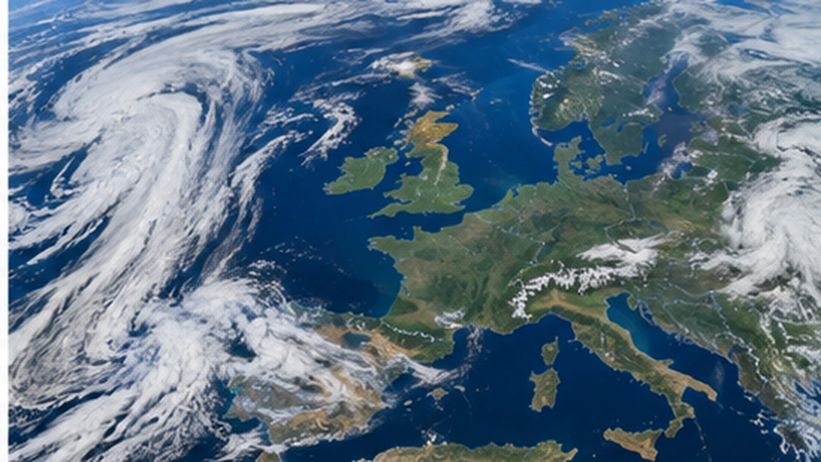
Europe’s weather is being divided by two competing pressure systems this Thursday evening. Higher pressure is expanding from the Atlantic into western and central Europe, while lower pressure over the Mediterranean keeps unsettled weather concentrated around Italy, the Adriatic and parts of southeastern Europe.
Central Europe is moving into the quieter side of the pattern
Behind the midweek cold front, cooler maritime air has spread into Germany, Switzerland and neighbouring areas. Instead of another major Atlantic system following immediately, pressure is rising from the west. That is allowing showers to fade across much of central Europe and creating longer dry periods.
The change is already visible in Germany, where the main hazards have shifted away from thunderstorms and toward local overnight fog. Switzerland has also turned drier north of the Alps, although a northeasterly Bise still creates regional wind differences and keeps some residual cloud against the Alpine slopes.
The Mediterranean remains the active zone
Farther south, the atmosphere is taking longer to settle. The disturbance that produced heavy rain and thunderstorms across northern and central Italy is moving eastward, but a broader cyclonic circulation remains in place.
On Friday, showers and thunderstorms are expected to become more focused along parts of the Adriatic side of Italy and farther south. That shift shows how the storm track is being displaced around the southern edge of the strengthening high-pressure zone over western and central Europe.
France shows how quickly the air mass has changed
The pressure transition is also producing large temperature swings. France moved from exceptional September heat earlier this week to very cool mornings after the front. Several stations dropped below 5 °C on Thursday morning, even though warmer afternoons and a gradual rebound are expected as the high strengthens.
This is a classic early-autumn combination: a cool air mass, clearer skies and lighter winds can produce chilly nights even while daytime temperatures recover quickly.
The Alps sit on the boundary
The Alpine region remains more complicated because terrain can trap cloud and enhance precipitation even as the wider pressure pattern improves. Austria is a good example on Friday: a northwesterly flow keeps many mountain areas cloudy and occasionally wet, while parts of the far west stay drier.
That terrain effect means a broad European map can look settled while local mountain conditions remain poor. Low cloud and reduced visibility can be more important than rainfall totals for travellers and hikers crossing the Alps.
A split pattern rather than a continent-wide weather regime
The key point is that Europe is not entering one uniform spell of weather. Western and central areas are increasingly influenced by higher pressure, while the Mediterranean and Adriatic zone remain closer to the low-pressure circulation.
Over the next couple of days, the balance should continue to shift toward calmer conditions across more of central and western Europe. The south and southeast will be the places to watch for the last meaningful pockets of instability.
Updated Thursday, September 10, 2026 at 18:50 CEST.