
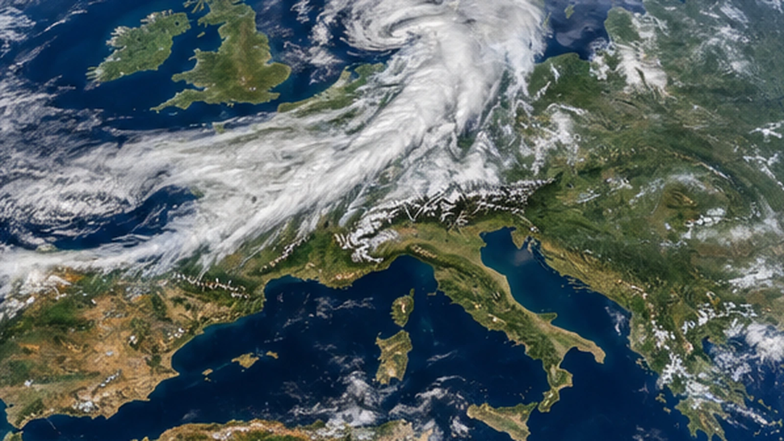
A broad frontal zone is reshaping the weather across Central Europe on Wednesday, September 9, 2026. Late-summer heat is being pushed east and south while cooler air, rain, thunderstorms and gusty winds spread from France and Germany into the Alps and northern Italy.
A sharp air-mass change across the continent
The main weather story is the contrast between the very warm air that dominated parts of western and central Europe earlier this week and the much cooler air now arriving behind a cold front. National weather services in France and Germany both describe a clear temperature drop as the front progresses.
In Germany, the front is moving southeast and replacing hot subtropical air with markedly cooler maritime air of polar origin. Northern Germany is already seeing daytime highs mostly around the upper teens to low 20s Celsius, together with showers and a brisk westerly wind.
Wind and showers across Germany and France
Germany faces gusty conditions from the northwest into the northern interior, with stronger gusts near the North Sea and over higher terrain. Isolated thunderstorms may also bring brief heavy rain and stronger gusts.
France is also cooling sharply. Maximum temperatures are generally forecast around 18 to 23 °C across the northern half of the country and 22 to 26 °C farther south, although the Mediterranean coast and Corsica remain considerably warmer. Residual rain and thunderstorms are still possible in eastern and southeastern regions.
Wet weather settles over the Alps
The Alpine region sits close to the frontal boundary, making prolonged cloud and rain an important part of the forecast. Switzerland is experiencing a much wetter and cooler day after temperatures near 30 °C in some areas on Tuesday. The northern side of the Alps is especially prone to persistent rain as moist air is forced against the terrain.
Austria shows a strong west-to-east contrast. Western Alpine valleys are already cool and wet, while eastern areas can remain much warmer for a time ahead of the front. Thunderstorms and heavier rain spread eastward through the day.
Northern Italy has the highest-impact weather
The most significant official alert situation in this Central European corridor is in northern Italy. Italy’s Civil Protection Department has issued orange alerts for parts of Lombardy, Veneto and western Emilia-Romagna, with yellow alerts affecting a wider group of regions.
Heavy showers and thunderstorms may produce locally high rainfall totals, strong wind gusts, frequent lightning and isolated hail. The most persistent precipitation is expected across parts of the Po Valley, the southern Alpine foothills, Liguria, Friuli-Venezia Giulia, western Emilia and northern Tuscany.
What travellers should expect
The front is not producing the same weather everywhere at the same time. Travellers crossing central Europe may move from warm and relatively calm conditions into heavy rain, poor visibility and gusty winds over a short distance. Alpine routes are particularly sensitive to local downpours and low cloud.
Because thunderstorm and rainfall warnings can change quickly, anyone travelling through the Alps or northern Italy should check the latest national and regional warnings before departure. The broader pattern, however, is clear: the late-summer heat is retreating across much of Central Europe, and a cooler, more unsettled air mass is taking its place.
Updated Wednesday morning, September 9, 2026.