
Europe starts Friday, 18 September 2026, with a varied but generally non-extreme weather pattern. A weakening frontal zone crosses parts of central Europe, bringing cloud and occasional rain, while large areas between the showers remain dry.
Central Europe: weak fronts and patchy rain
Germany sees variable cloud with regional rain, especially from the southwest into central and eastern areas. Conditions become drier again in many places later in the day. Austria is split, with sunnier and mostly dry weather in the north and east, but more cloud and showers developing across southern and mountainous areas.
Alpine region and Italy: locally unsettled
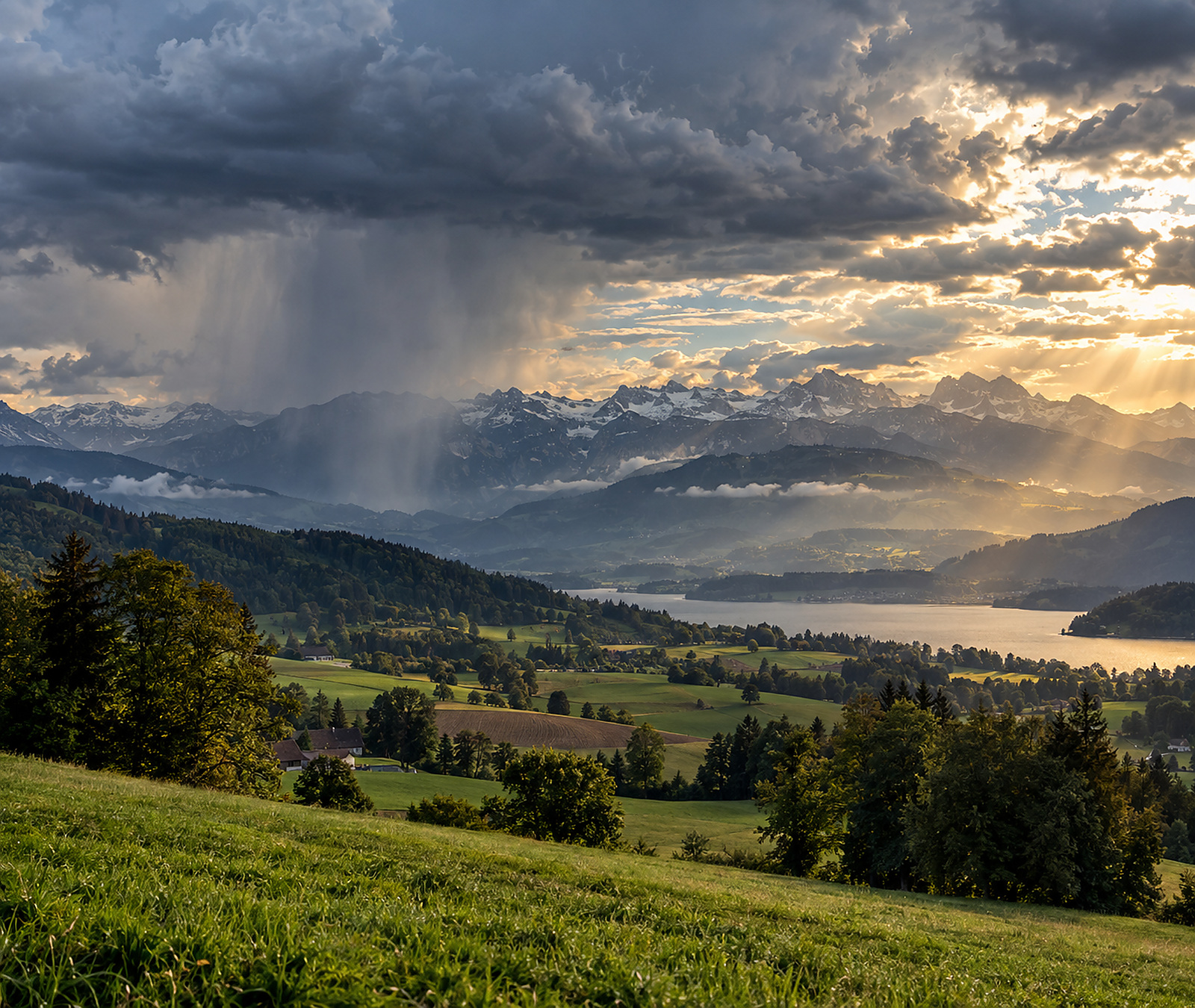
The Alpine region remains one of the more changeable parts of the continent. Local showers are possible in the Swiss and Austrian Alps. Italy also has an unsettled pattern, particularly around the Alps, Apennines and parts of central Italy, with isolated thunderstorms possible farther south and around eastern Sicily.
France: improving from the west, windy in the Mediterranean
France has some morning rain from the southwest towards the northeast before conditions generally turn drier. The southeast is sunnier, although mistral and tramontane winds remain noticeable. Showers or isolated thunderstorms are possible near the southern Alps and Corsica.
Large temperature contrast across Europe
Friday’s temperature range is broad: around 10°C in Reykjavik and Rovaniemi, roughly 22°C in Paris, about 27°C in Belgrade, near 30°C in Athens and around 33°C in Seville. This leaves northern Europe distinctly cool while parts of the south retain a strong late-summer feel.