
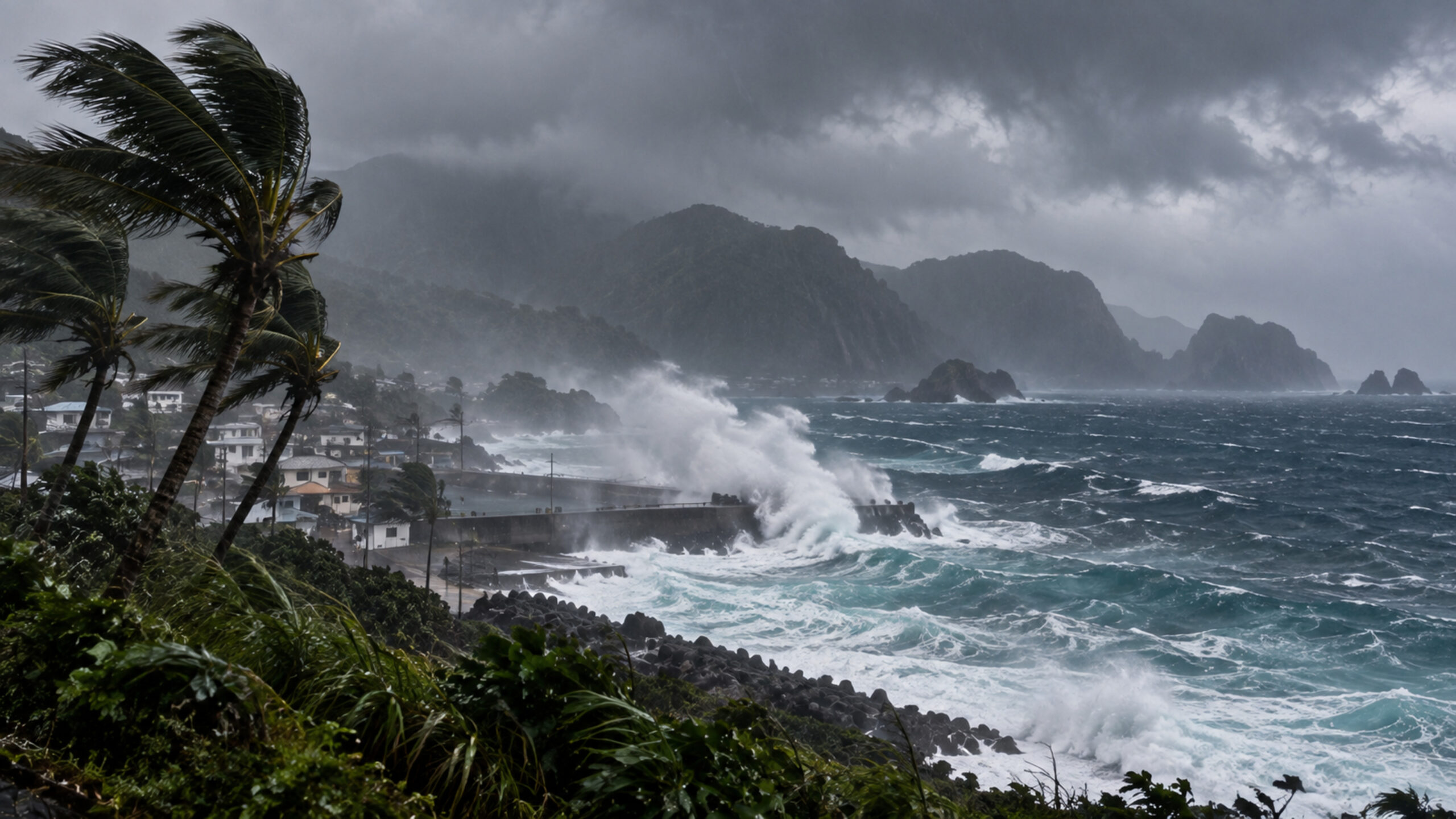
September 18, 2026: Dujuan has strengthened from a tropical storm into a typhoon over the western North Pacific. In its latest advisory before the system moved out of its area of responsibility, the National Weather Service in Tiyan, Guam, placed Dujuan near 25.5°N, 145.2°E with maximum sustained winds of 75 mph, about 120 km/h.
The storm was moving northwest at roughly 31 mph, or 50 km/h. The advisory said Dujuan should turn slightly toward the west-northwest and slow sharply through Saturday. That expected slowdown is now one of the key factors for the next phase of the storm.
Severe weather for the Ogasawara Islands
Japan Meteorological Agency guidance issued Friday says the Ogasawara Islands are expected to experience severe weather with heavy rain and thunderstorms under the influence of the typhoon. This is the clearest immediate land-impact signal from Dujuan: the storm is no longer only a distant tropical system over open water.
The NWS estimated typhoon-force winds extending about 30 miles, or 50 kilometres, from Dujuan’s centre. Tropical-storm-force winds covered a much broader area, reaching as far as about 220 miles to the northeast. That broad outer circulation matters for islands that may remain well away from the exact centre but can still experience strong winds, rough seas and bands of heavy rain.
A fast-moving typhoon expected to slow down
Dujuan’s rapid northwestward motion has been a defining feature of the system. A major reduction in forward speed is forecast through Saturday, however, which could alter both the timing and duration of hazardous conditions around the Japanese island chains.
The NWS advisory listed no tropical watches or warnings within its own area of responsibility. That should not be read as an all-clear for Japan: JMA is the relevant authority for Japanese territory and is already forecasting severe conditions over the Ogasawara Islands.
Izu Islands come into focus
Farther north, the Izu Islands are increasingly part of the forecast discussion. JMA guidance for Friday and the weekend shows deteriorating conditions in parts of the chain, with rain, strong winds and significant wave heights becoming more prominent. The precise severity will depend on how far west Dujuan tracks before eventually curving away.
At this stage, it would be premature to describe Dujuan as making a direct hit on mainland Japan. The storm’s centre remains over the Pacific, and forecast uncertainty still matters. The current, confirmed story is the upgrade to typhoon strength and the expectation of severe weather over the Ogasawara Islands.
What is confirmed and what remains uncertain
Confirmed: Dujuan reached typhoon strength with sustained winds near 75 mph in the latest NWS advisory, and JMA expects heavy, thundery rain and severe weather over the Ogasawara Islands on Friday.
Still forecast: the exact track after the expected slowdown, the closest approach to the Izu Islands, and any later effects on more densely populated parts of Japan. Those details should be treated as a developing forecast rather than a confirmed impact.
People in the affected Japanese islands should follow the latest JMA warnings and local authority guidance, stay away from exposed coasts during heavy surf, and be prepared for rapid changes in travel and marine conditions as Dujuan evolves.