
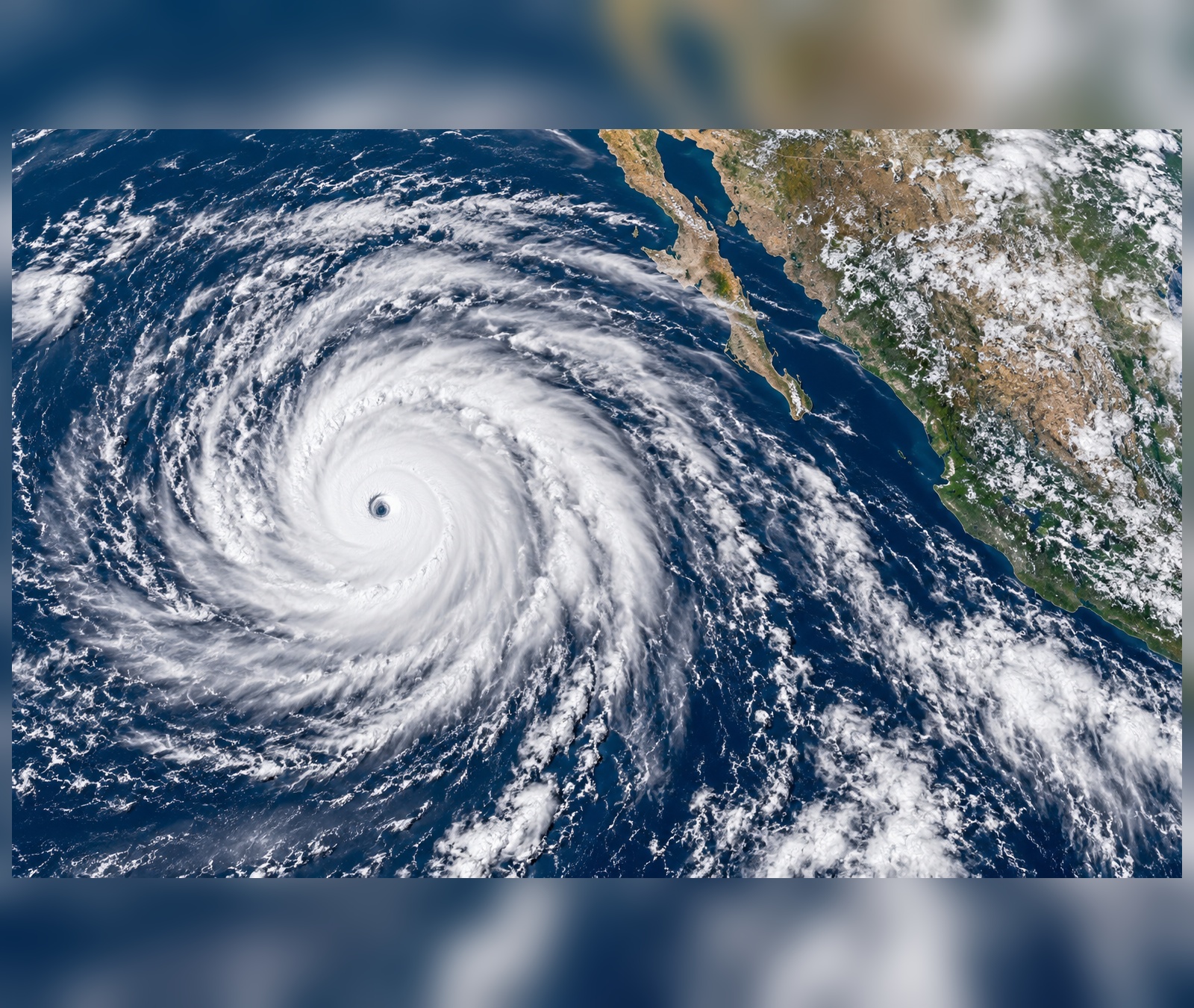
Several tropical cyclones are active at the same time across the Atlantic and Pacific. As of 26 September, the U.S. National Hurricane Center is issuing advisories on Tropical Storms Fay and Gonzalo in the Atlantic, Hurricanes Polo and Odalys in the eastern Pacific, and Hurricane Nolo in the central Pacific.
Five named systems, three basins
Nolo is south of Hawaii with maximum sustained winds around 105 mph (165 km/h) and a minimum pressure near 975 hPa. The NHC expects strengthening into a major hurricane. In the eastern Pacific, Polo remains a powerful Category 5 hurricane and hurricane watches are in effect for parts of Baja California Sur. Odalys is also being monitored as a hurricane.
The Atlantic is active too
Gonzalo is near Cabo Verde with sustained winds around 45 mph (75 km/h), while Fay is over the open Atlantic and weakening. The simultaneous presence of several systems does not mean they are connected; each cyclone is embedded in its own steering currents, ocean temperatures and atmospheric environment.
Why can several storms exist at once?
Tropical cyclones require sufficiently warm ocean water, moisture, atmospheric instability and relatively low disruptive wind shear. When favorable zones exist in more than one basin at the same time, several storms can develop independently. The key danger depends on track: a very intense hurricane far offshore may pose less immediate land risk than a weaker storm moving directly toward populated islands or coasts.